Out of stock
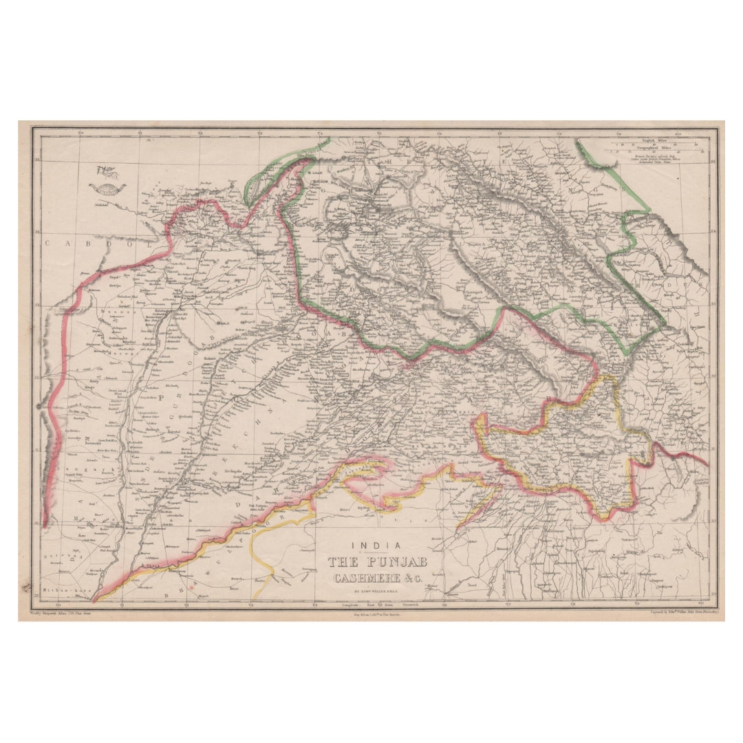
Well 1863 Map of British India 'The Punjab Cashmere &c'
Well 1863 Map of British India 'The Punjab Cashmere &c'
Regular price
£60.00 GBP
Regular price
Sale price
£60.00 GBP
Unit price
per
Taxes Included. For international orders, any additional duties or customs fees upon delivery are the responsibility of the purchaser.
Shipping calculated at checkout.
Couldn't load pickup availability
Synopsis
Synopsis
An original antique map of the Punjab and Kashmir—historically titled “Cashmere”—engraved by Edward Weller and published in 1863.
The map presents a detailed view of the region during British colonial rule, covering territories that now lie across northern India and Pakistan. It identifies contemporary political boundaries, cities, settlements, railway lines, rivers and mountain terrain, with relief represented through fine hachuring.
Published in Cassell’s Weekly Dispatch Atlas, the map retains its original hand-applied outline colouring. Its generous dimensions and intricate geographical detail make it a striking historical display piece.
Details
- Date published: 1863
- Cartographer and engraver: Edward Weller
- Publication: Cassell’s Weekly Dispatch Atlas
- Type: Antique lithographic map with original outline colouring
- Condition: Good and suitable for framing
- Reverse: Plain
- Size: Approximately 31 × 44 cm (12 × 17.5 inches)—slightly larger than an A3 sheet
Colour
Colour
Multicolor
Country
Country
India and Myanmar (Burma)