Low stock: 1 left
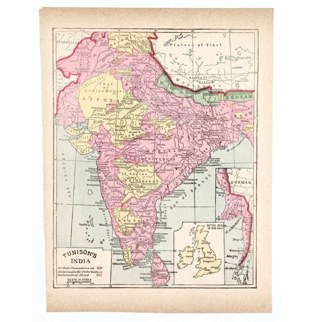
Tunison’s 1891 Map of India – British Territories, Protectorates & Independent States
Tunison’s 1891 Map of India – British Territories, Protectorates & Independent States
Regular price
£54.00 GBP
Regular price
Sale price
£54.00 GBP
Unit price
per
Taxes Included. For international orders, any additional duties or customs fees upon delivery are the responsibility of the purchaser.
Shipping calculated at checkout.
Couldn't load pickup availability
Synopsis
Synopsis
This is an authentic, original antique map from 1891, hand-colored and highly detailed. It beautifully illustrates British possessions, independent states, and regions under British protection, along with railway networks. The map includes a scale beneath the title and inset maps in the lower right corner, highlighting both the relative size of India and its eastern territories.
📏 Dimensions: 11.5 x 9 inches (entire sheet)
A rare and collectible piece of cartographic history, perfect for historians, collectors, and map enthusiasts.
Colour
Colour
Multicolor
Country
Country
India, Myanmar (Burma), Pakistan, Bangladesh, and Nepal