Low stock: 1 left
Original Vintage Map 1944 - India and Burma; Inset Ceylon
Original Vintage Map 1944 - India and Burma; Inset Ceylon
Couldn't load pickup availability
Synopsis
Synopsis
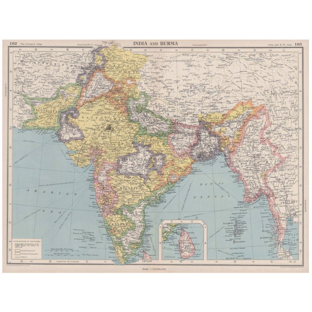
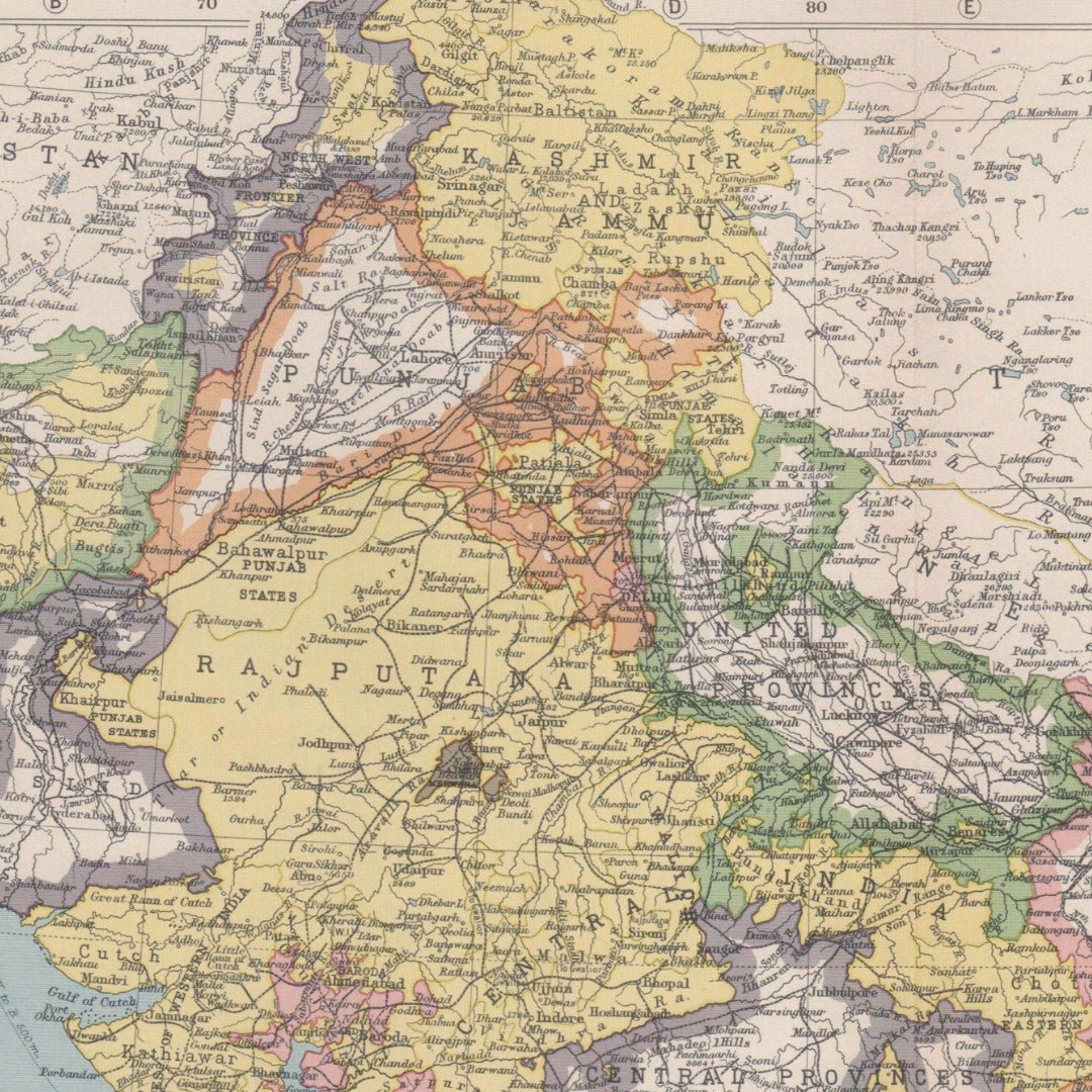
We have an original vintage map titled “India and Burma; Inset Ceylon,” dated 1944.
The map size is approximately 34.5 x 45.5 cm (13.5 x 17.75 inches), making it a large folding map, suitable for framing. This map was printed during the Second World War and provides historical context, including the advance of the Axis powers, Japanese expansion in Asia, and other significant wartime details. The condition is good, with typical signs of aging that are generally unobtrusive. Please review the scan carefully for any blemishes before purchasing. We offer a no-questions-asked return policy.
This is an authentic historic map from 1944, not a modern reproduction. The reverse side contains images and/or text, which may be visible on the map itself or around the margin (please check the scan prior to purchase).
The map was created by John Bartholomew & Son and originally appeared in “The Citizen’s Atlas of the World,” 8th Edition, published by John Bartholomew & Son Limited, London.
Your purchase will be securely packaged for safe delivery.
Colour
Colour
Multicolor
Country
Country
India and Myanmar (Burma)