Low stock: 1 left
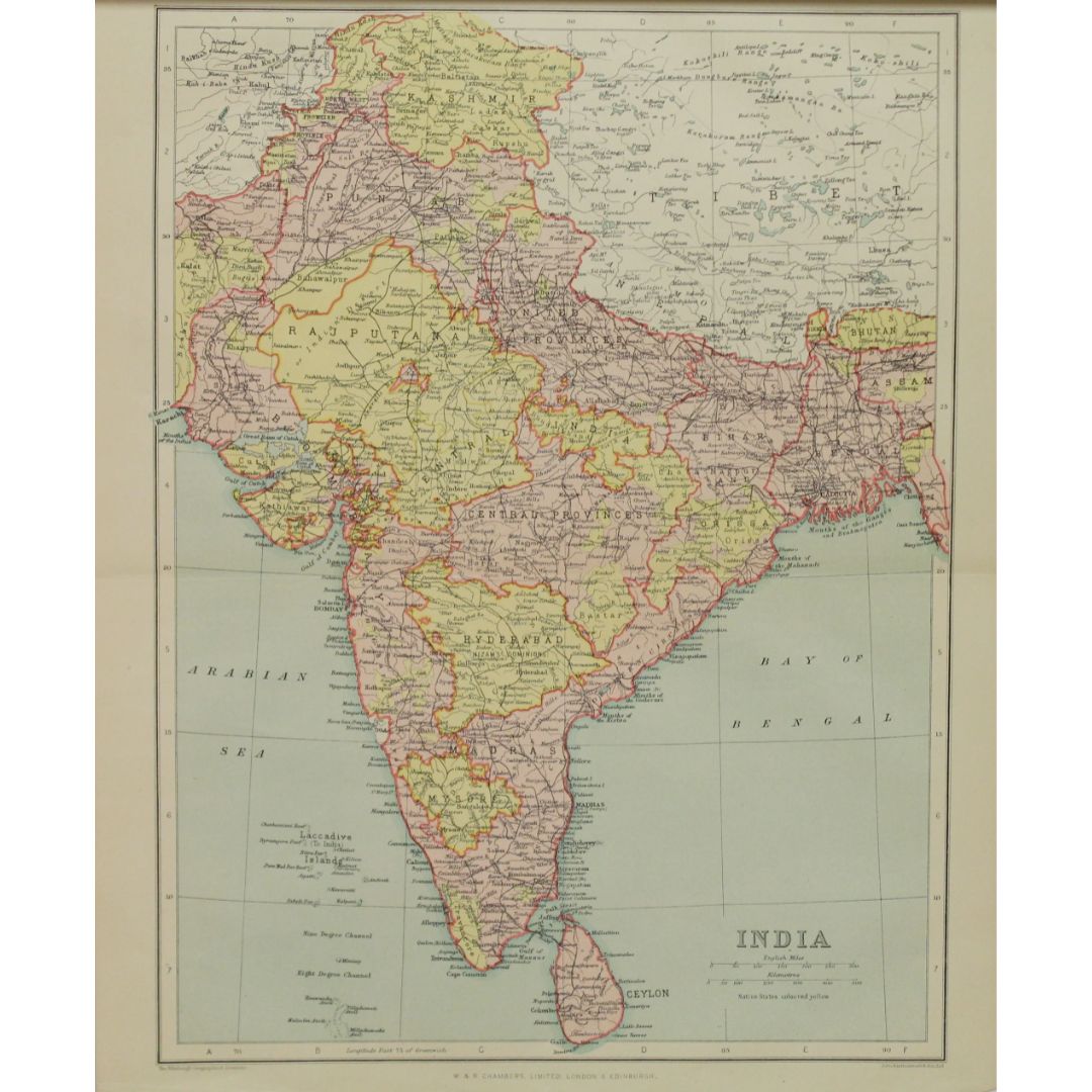
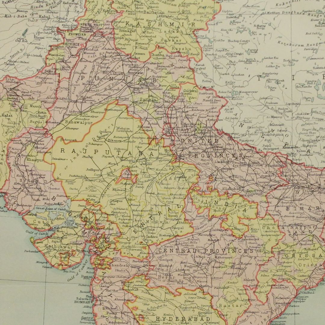
Original Antique Map c.1880 - India by The Edinburgh Geographical Institute, John Bartholomew & Son Ltd
Original Antique Map c.1880 - India by The Edinburgh Geographical Institute, John Bartholomew & Son Ltd
Couldn't load pickup availability
Synopsis
Synopsis
We have an original antique map titled “India,” published around 1880 by The Edinburgh Geographical Institute, John Bartholomew & Son Ltd, in collaboration with W & R Chambers.
Date Printed: c.1880
Geographer and Cartographer: John George Bartholomew and Son
Map Publishers: The Edinburgh Geographical Institute, founded by John G. Bartholomew
Publisher Author: W & R Chambers
Paper Size: 270 x 330mm
Print Size: 230 x 310mm
Condition: Very Good; suitable for framing. The map is original and published in colour.
Provenance:
This map was published by W & R Chambers, a renowned publisher founded by William and Robert Chambers, known for their contributions to educational and reference works. The Edinburgh Geographical Institute, founded by John Bartholomew Sr., became famous for its high-quality maps and was the Geographer and Cartographer to the King for Scotland until 1962. The Institute was later merged with Collins, and the legacy continues as Collins Bartholomew under HarperCollins Publishers.
This map is an authentic historic piece from the late 19th century, reflecting the quality and craftsmanship of its time. It is not a modern reproduction and offers both historical and educational value.
Your purchase will be securely packaged for safe delivery.
Colour
Colour
Multicolor
Country
Country
India, Myanmar (Burma), Pakistan, Bangladesh, and Nepal


