Low stock: 1 left
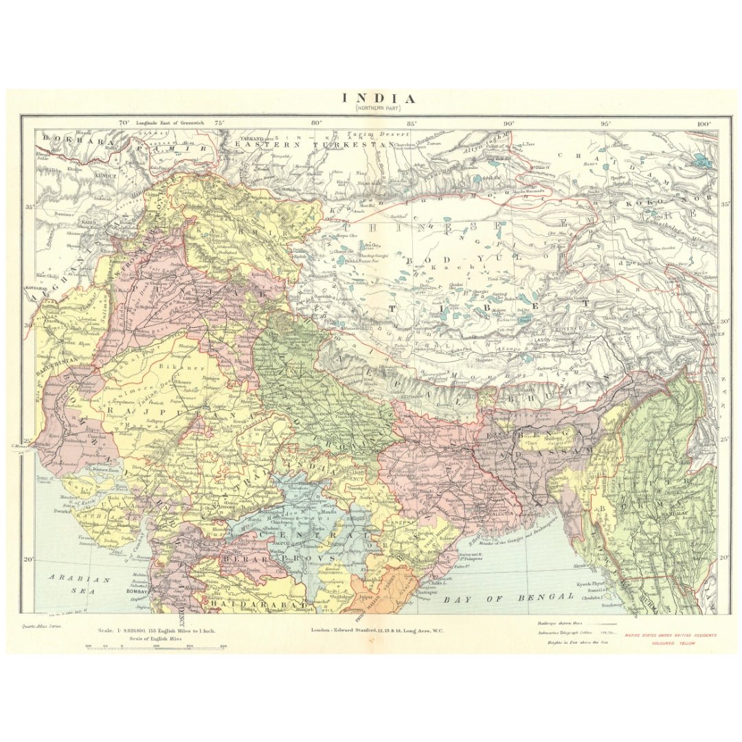
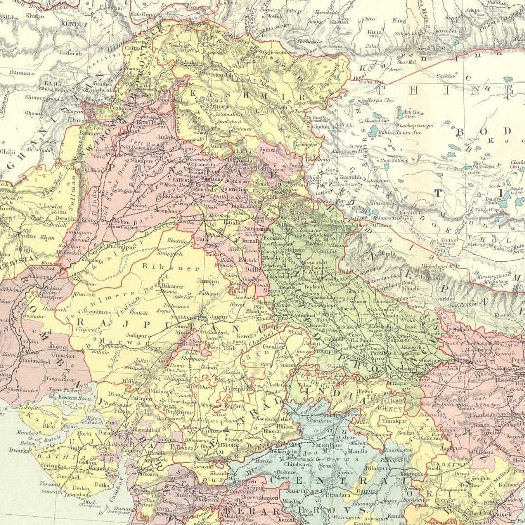
Original Antique Map 1906 - Northern British India: Rajputana, Punjab, Tibet, Bhutan, and Nepal
Original Antique Map 1906 - Northern British India: Rajputana, Punjab, Tibet, Bhutan, and Nepal
Couldn't load pickup availability
Synopsis
Synopsis
We have an original antique map titled “India (Northern Part),” dated 1906.
Date Printed: 1906
Image Size: Approx 27.0 x 35.0 cm (10.75 x 13.75 inches) - Large; Please note that this is a folding map.
Type: Colour antique map; Scale 1: 9,820,800
Condition: Good; suitable for framing. The map you receive will be in good condition, though there may be minor variations from the image shown. Please review the scan for any blemishes before purchasing. Some aging is typical but generally unobtrusive. We offer a no-questions-asked return policy.
Authenticity: This is an authentic historic map from 1906, not a modern reproduction.
Verso: The reverse side is plain with nothing printed on it.
Folding: This is a folding map.
Artist/Cartographer/Engraver: Edward Stanford
Provenance: This map originally appeared in “Stanford’s Octavo Atlas of Modern Geography,” 3rd Edition, published by Edward Stanford, London.
Colour
Colour
Multicolor
Country
Country
India, Myanmar (Burma), Pakistan, Bangladesh, and Nepal