Out of stock
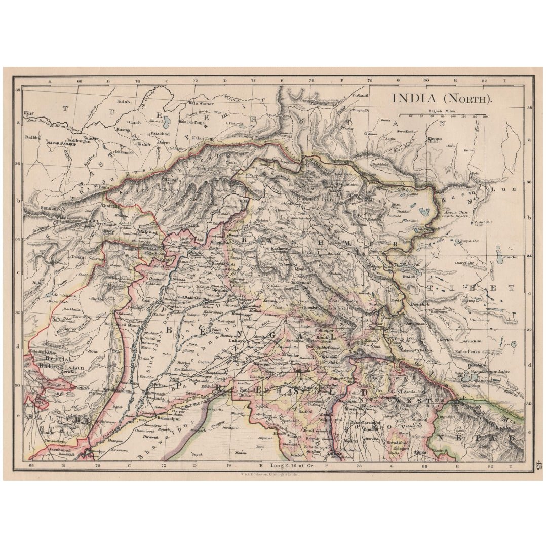
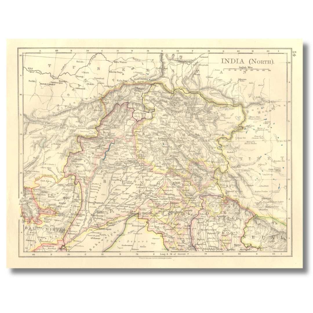
Original Antique Map - Northern British India: Jammu, Kashmir, Punjab, Himalayas
Original Antique Map - Northern British India: Jammu, Kashmir, Punjab, Himalayas
Couldn't load pickup availability
Synopsis
Synopsis
We have a number of original antique maps titled “India (North),” dated 1892, 1895, 1899, 1906.
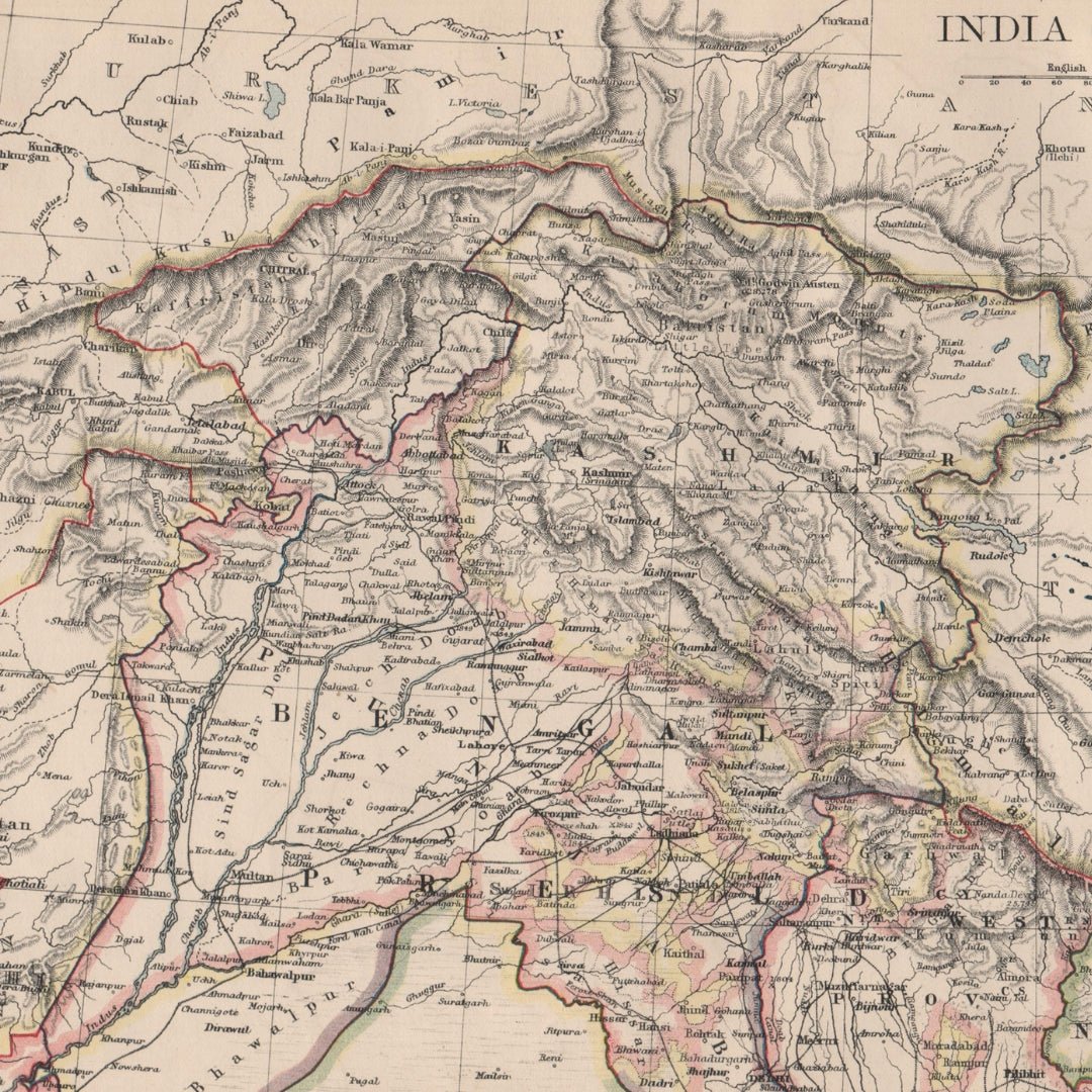
The map size is approximately 20.5 x 27.0 cm (8 x 10.75 inches), making it a medium-sized color map, suitable for framing. This map details the northern regions of British India, including Jammu, Kashmir, Punjab, and the Himalayas. The condition is good, with typical signs of aging that are generally unobtrusive. Please note that the image shown may have been taken from a different example of this map, so there may be minor variations in the condition of the map you receive. Please review the scan carefully for any blemishes before purchasing. We offer a no-questions-asked return policy.
These are authentic historical maps and not modern reproductions.
The map was created by W. & A.K. Johnston, Limited, Edinburgh & London, and originally appeared in “The World-Wide Atlas of Modern Geography,” 2nd Edition, by J. Scott Keltie, published by W. & A.K. Johnston, London.
Your purchase will be securely packaged for safe delivery.
Colour
Colour
Multicolor
Country
Country
India, Myanmar (Burma), Pakistan, Bangladesh, and Nepal