Low stock: 1 left
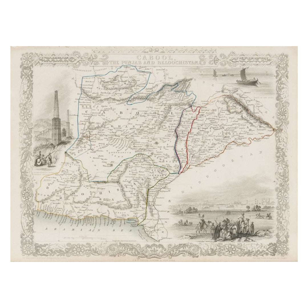
John Tallis & Company 1850 Map of Cabool, the Punjab and Beloochistan
John Tallis & Company 1850 Map of Cabool, the Punjab and Beloochistan
Couldn't load pickup availability
Synopsis
Synopsis
Tallis maps were highly valued for their accuracy, but perhaps more so for their charming vignettes and ornamentation. Engraved by John Rapkin, these maps were praised by the New York Sun as "the most accurate and most splendid publication of the kind ever issued". The Bristol Times observed that Mr. Tallis maps "are not only critically correct, but are accompanied with elegant and appropriate engravings illustrative of the manners and costumes of the different countries."
John Tallis was a British publisher and one of the most popular cartographers of the 19th Century. Tallis was renowned for his very accurate and visually attractive maps. His star engraver and map maker was John Rapkin. During the mid 19th Century, many books of travel and exploration were published by Tallis, using the extraordinary artistic and engraving skills of John Rapkin. In 1851 Tallis published his famous Illustrated Atlas.
Dimensions: 26.5cm x 33.9cm
Colour
Colour
Multicolor
Country
Country
India and Myanmar (Burma)