Low stock: 1 left
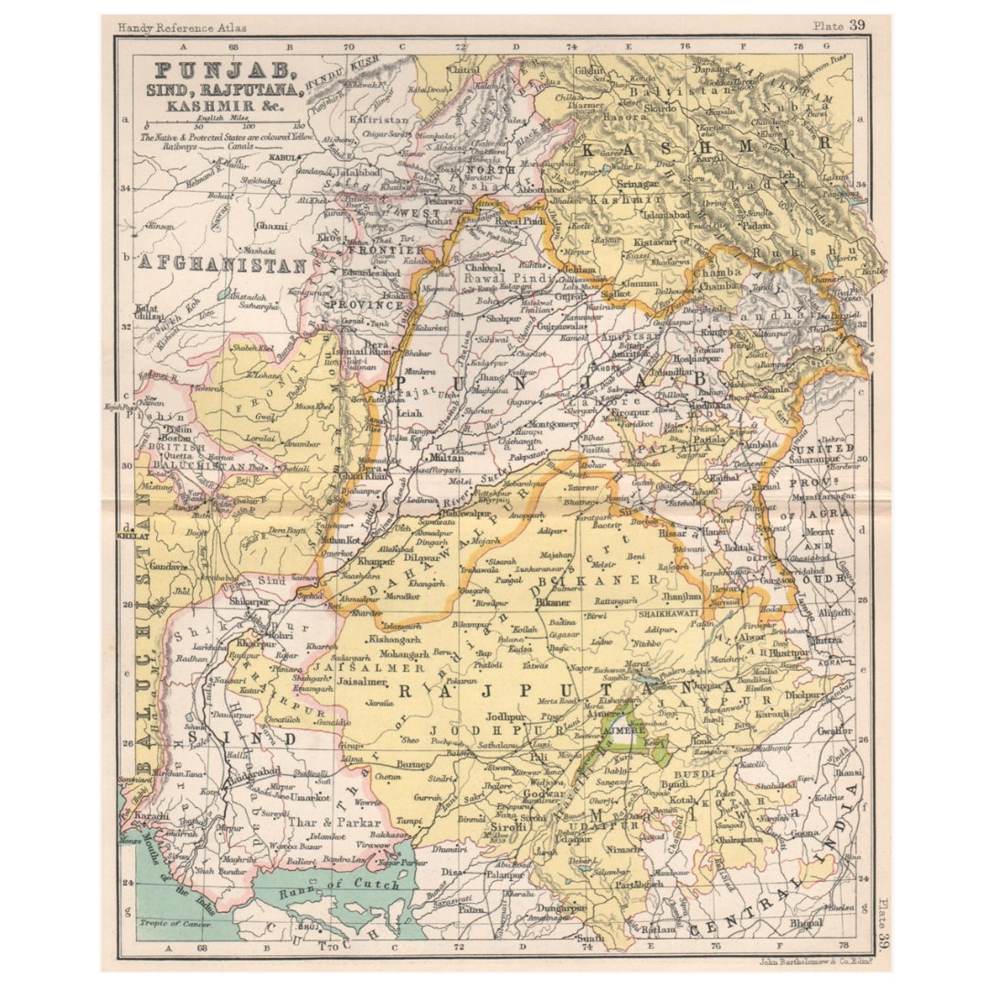
John Bartholomew 1904 Map of North-Western British India (Punjab, Sind, Rajputana and Kashmir)
John Bartholomew 1904 Map of North-Western British India (Punjab, Sind, Rajputana and Kashmir)
Regular price
£60.00 GBP
Regular price
Sale price
£60.00 GBP
Unit price
per
Taxes Included. For international orders, any additional duties or customs fees upon delivery are the responsibility of the purchaser.
Shipping calculated at checkout.
Couldn't load pickup availability
Synopsis
Synopsis
An original antique colour map of north-western British India, published in 1904. It depicts Punjab, Sind, Rajputana and Kashmir, encompassing territories that now form parts of India and Pakistan.
The map was created by renowned Scottish cartographer John Bartholomew and published in the seventh edition of the Handy Reference Atlas of the World. Its fine geographical detail and period colouring make it an attractive historical record of the region during the late British colonial era.
Details
- Date published: 1904
- Cartographer: John Bartholomew
- Publisher: John Walker & Co., London
- Publication: Handy Reference Atlas of the World, seventh edition
- Type: Original antique colour map
- Format: Folding map with another map printed on the reverse
- Condition: Good and suitable for framing
- Size: 21 × 17 cm (8 × 6.5 inches) roughly the size of an A5 sheet, but slightly wider
Colour
Colour
Multicolor
Country
Country
India and Myanmar (Burma)