Low stock: 1 left
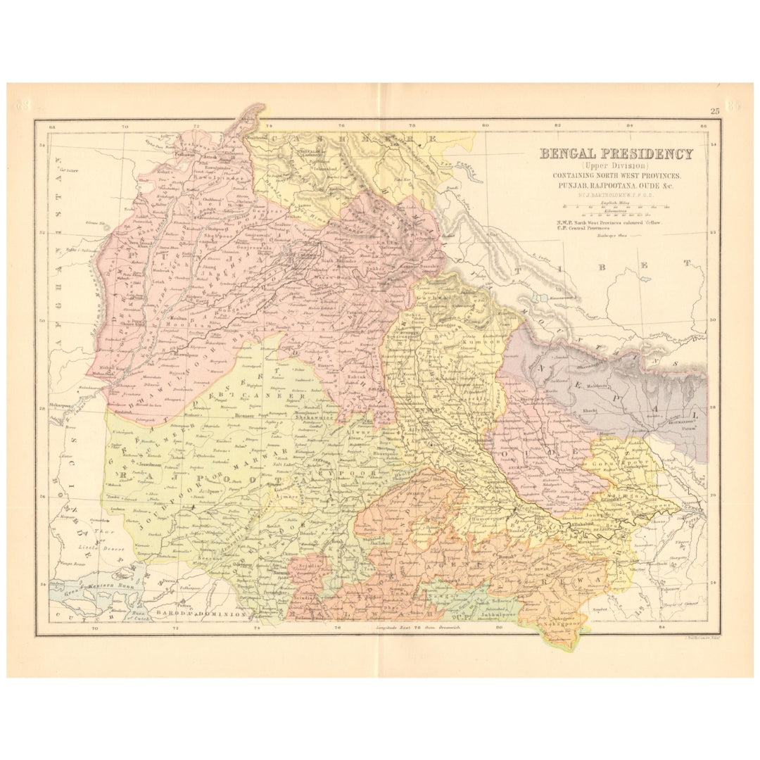
John Bartholomew 1876 Map of Bengal Presidency (Upper Division), covering North-Western Provinces, Punjab, Rajputana and Oude
John Bartholomew 1876 Map of Bengal Presidency (Upper Division), covering North-Western Provinces, Punjab, Rajputana and Oude
Regular price
£50.00 GBP
Regular price
Sale price
£50.00 GBP
Unit price
per
Taxes Included. For international orders, any additional duties or customs fees upon delivery are the responsibility of the purchaser.
Shipping calculated at checkout.
Couldn't load pickup availability
Synopsis
Synopsis
An original antique colour map of northern British India, published in 1876. Titled Bengal Presidency (Upper Division), it covers the North-Western Provinces, Punjab, Rajputana and Oude, now more commonly known as Oudh or Awadh.
Created by celebrated Scottish cartographer John Bartholomew, the map offers a detailed record of the region’s nineteenth-century geography and colonial administrative divisions.
It was published in the first edition of The Library Atlas by William Collins of London. Its attractive period colouring and clear cartographic detail make it a distinctive historical display piece.
Details
- Date published: 1876
- Cartographer: John Bartholomew
- Publisher: William Collins, London
- Publication: The Library Atlas, first edition
- Type: Original antique colour map
- Format: Folding map
- Reverse: Plain
- Condition: Good and suitable for framing
- Size: 25 × 31 cm (9.5 × 12 inches)—slightly larger and wider than an A4 sheet
Colour
Colour
Multicolor
Country
Country
India and Myanmar (Burma)