Low stock: 1 left
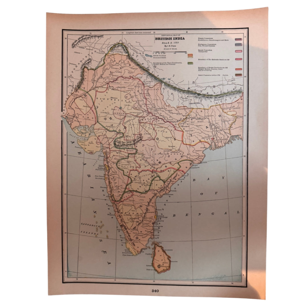
Historical Map of British India since A.D. 1751, Antique Colour Atlas Map, Printed in 1894, Cram's Universal Atlas
Historical Map of British India since A.D. 1751, Antique Colour Atlas Map, Printed in 1894, Cram's Universal Atlas
Couldn't load pickup availability
Synopsis
Synopsis
An original colour map printed in 1894, and an unusual one: rather than simply showing India as it stood, it's a historical map — British India's territorial story traced from 1751, as an atlas of the 1890s chose to tell it. The caption below the picture reads 'Historical Map of British India since A.D 1751', and the cartography is credited to I. S. Clare.
It comes from Cram's Universal Atlas, Geographical, Astronomical & Historical, published by George F. Cram of 140 William Street, New York and 415 Dearborn Street, Chicago. A large sheet, roughly 34.5 x 25.5 cm (13.5 x 10 inches), with another map printed on the reverse — two maps in one, as atlas pages often were.
Date printed: 1894
Cartographer: I. S. Clare
Provenance: Cram's Universal Atlas, Geographical, Astronomical & Historical, George F. Cram, New York & Chicago
Size: approx 34.5 x 25.5 cm / 13.5 x 10 inches (large)
Verso: another map is printed on the reverse side
Colour
Colour
Multicolor
Country
Country
India and Myanmar (Burma)