Low stock: 1 left
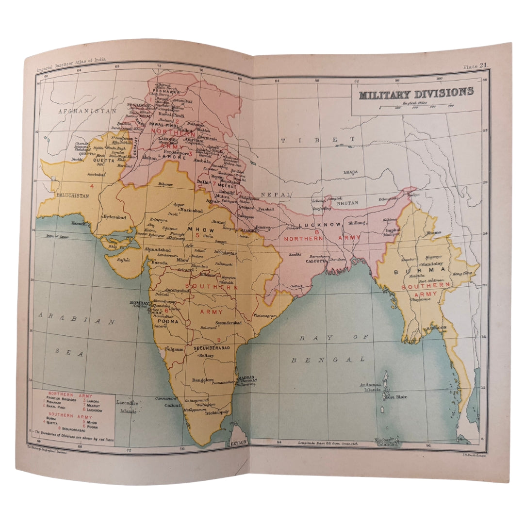
Military Divisions of India, Antique Colour Gazetteer Map, 1909, J. G. Bartholomew, Imperial Gazetteer of India
Military Divisions of India, Antique Colour Gazetteer Map, 1909, J. G. Bartholomew, Imperial Gazetteer of India
Couldn't load pickup availability
Synopsis
Synopsis
An original colour map from the Imperial Gazetteer of India, printed in 1909, showing the military divisions of British India. The map is by J. G. Bartholomew, and the title on the sheet reads 'Military Divisions'.
Its source gives it real weight as a document: the Imperial Gazetteer (new edition) was published under the authority of His Majesty's Secretary of State for India in Council, at the Clarendon Press, Oxford — the official reference work of the Raj, mapped by Bartholomew's Edinburgh firm.
A medium-sized sheet, roughly 20.5 x 25 cm (8 x 9.75 inches). Please note this is a folding map. The reverse side is plain, with nothing printed on it.
Date printed: 1909
Cartographer: J. G. Bartholomew
Provenance: The Imperial Gazetteer of India, new edition, published under the authority of His Majesty's Secretary of State for India in Council, Oxford, at the Clarendon Press
Size: approx 20.5 x 25.0 cm / 8 x 9.75 inches (medium) — folding map
Verso: plain, nothing printed on the reverse
Colour
Colour
Multicolor
Country
Country
India and Myanmar (Burma)