Low stock: 1 left
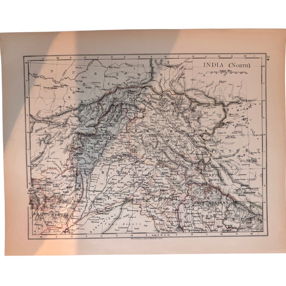
India (North), Antique Colour Map, 1903, W. & A. K. Johnston
India (North), Antique Colour Map, 1903, W. & A. K. Johnston
Regular price
£35.00 GBP
Regular price
Sale price
£35.00 GBP
Unit price
per
Taxes Included. For international orders, any additional duties or customs fees upon delivery are the responsibility of the purchaser.
Shipping calculated at checkout.
Couldn't load pickup availability
Synopsis
Synopsis
An original colour map of northern India, printed in 1903. It was published by W. & A. K. Johnston Ltd of Edinburgh and London for The World-Wide Atlas of Modern Geography, edited by J. Scott Keltie, LL.D. this plate is from the 6th edition. The map's own title reads 'India (North)'.
A medium-sized sheet, roughly 20.5 x 27 cm (8 x 10.75 inches), in good condition and suitable for framing.
Date printed: 1903
Cartographer/publisher: W. & A. K. Johnston, Limited, Edinburgh & London
Provenance: The World-Wide Atlas of Modern Geography, ed. J. Scott Keltie, LL.D., 6th edition
Size: approx 20.5 x 27.0 cm / 8 x 10.75 inches (medium)
Colour
Colour
Multicolor
Country
Country
India and Myanmar (Burma)