Low stock: 1 left
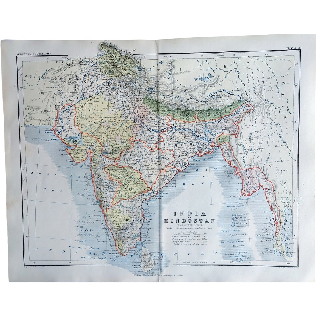
Original Antique Map 1857 - India or Hindostan
Original Antique Map 1857 - India or Hindostan
Couldn't load pickup availability
Synopsis
Synopsis
We have an original antique map titled “India or Hindostan,” published in 1857.
This interesting double-page map comes from A School Atlas of General and Descriptive Geography by A.K. Johnston, published by William Blackwood and Sons, Edinburgh and London. The map offers a detailed view of India as it was in the mid-19th century, making it a valuable educational resource from that period.
The map is an authentic historic piece from 1857, not a modern reproduction. Its origin from a school atlas adds an educational and historical significance, making it a unique addition to any collection.
Your purchase will be securely packaged for safe delivery.
Colour
Colour
Multicolor
Country
Country
India, Myanmar (Burma), Pakistan, Bangladesh, and Nepal